Winter 2016 - inland W.A. - May to Sept 2016
< Add this page to your Favorites! >
< another year >
< Index page >
< Part 1 >
< Part 2 >
< Part 3 >
< Part 4 >
< Part 5 >
< Part 6 >
< Part 7 >
< Part 8 >
< Part 9 >
< Part 10 >
< Part 11 >
< Part 12 >
< Part 13 >
< Part 14 >
Whether you have been here before or not.. WELCOME! I enjoy taking photos that [to me] seem unusual or interesting. Sometimes I think they are funny, sometimes strange and sometimes R rated. In any case you are encouraged to put comments in the visitors book. I hope I can make you smile or even giggle a bit.
Click any picture to ENLARGE it, then use the [Backspace key] to return.
Use the [F11] key to toggle full screen mode.
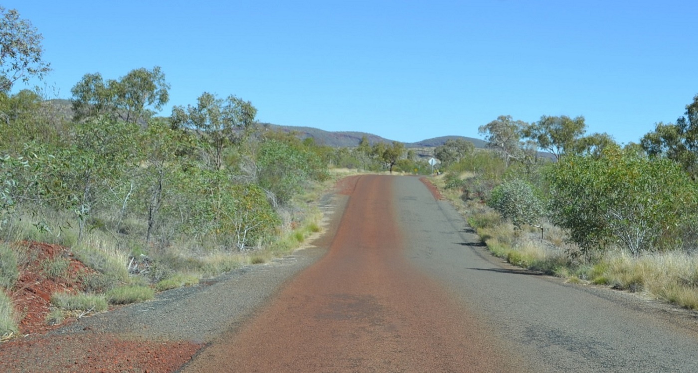
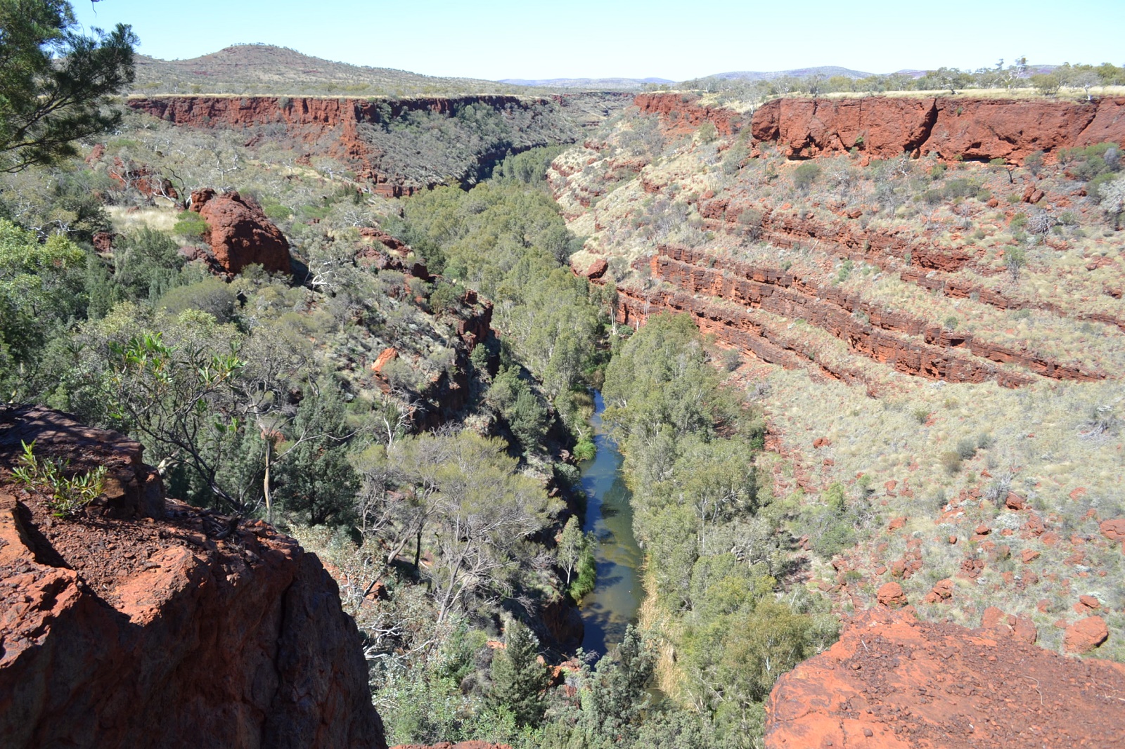
This might as well be a map of Western Australia - well, the top half of it anyway.
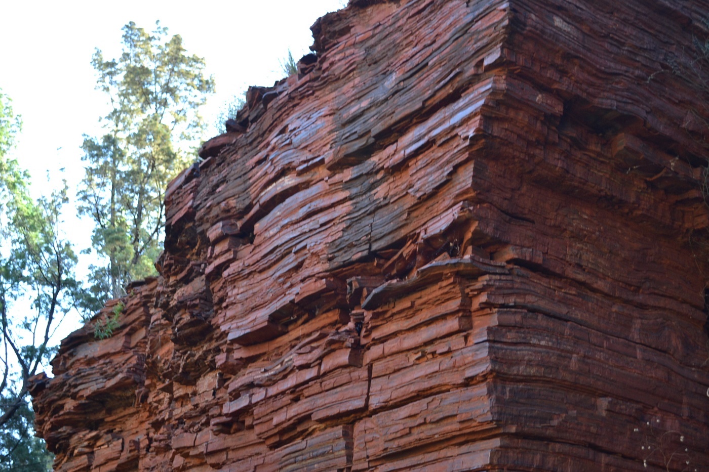
The whole place seems to be red rock! (rusty iron).
A Parks & Wildlife officer explained that each and every one of the layers of rock seen here could have taken thousands of years (or maybe several days) to settle onto the bottom of an ocean - which aint there now.
Vehicles arriving at Karijini arrive on the right... and vehicles leaving are on the left.
Everything is covered in red dust as we leave, including me, my car, and my caravan.
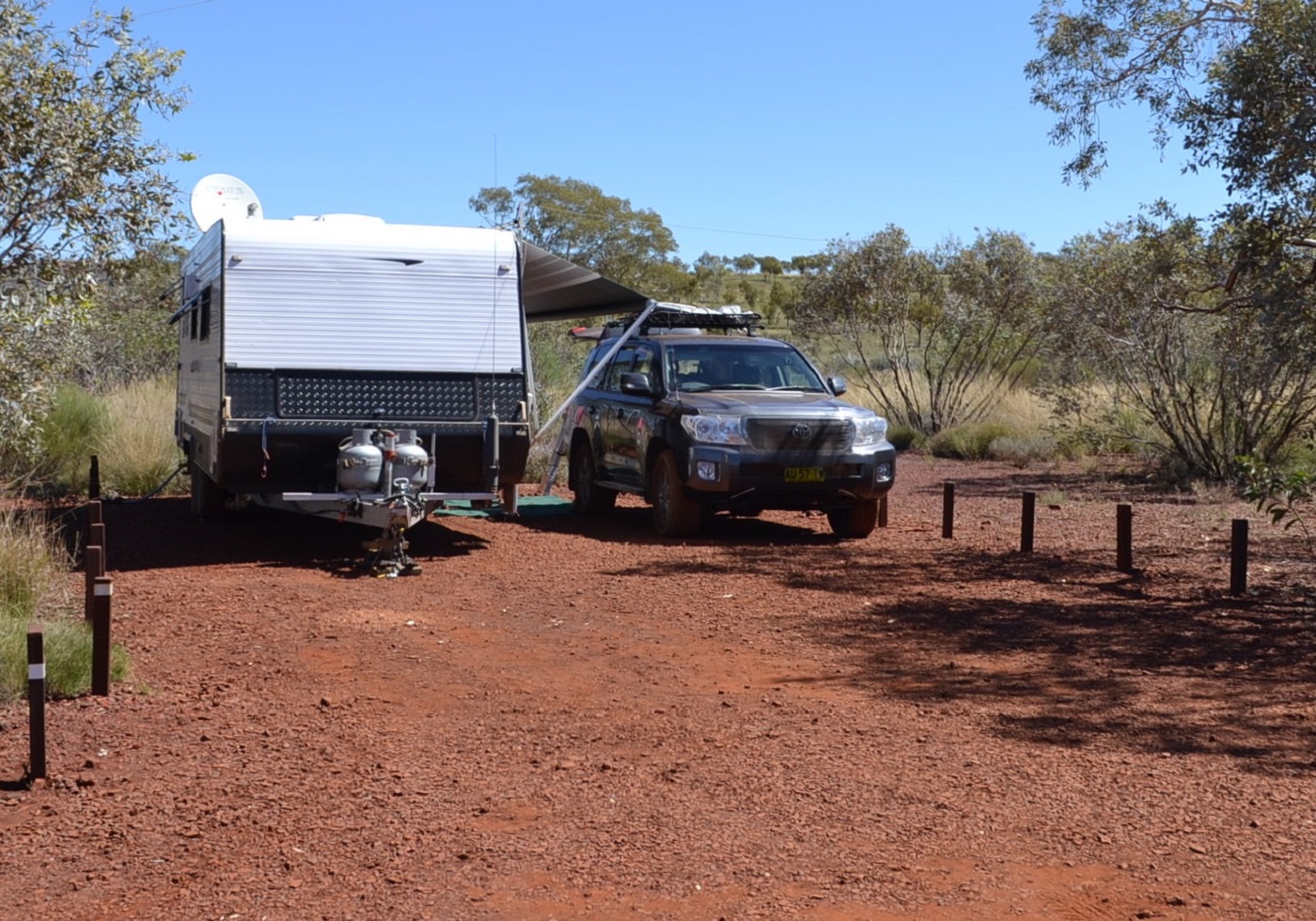
This camp site in Karijini is at Dales Gorge which is supposed to be the most impressive.
Unfortunately we couldn't stand more than two days of the red dust. Our shoes, our socks, our feet, our legs, and our clothes were all becoming magnetic and sticking to anything made of metal.
< another year >
< Index page >
< Part 1 >
< Part 2 >
< Part 3 >
< Part 4 >
< Part 5 >
< Part 6 >
< Part 7 >
< Part 8 >
< Part 9 >
< Part 10 >
< Part 11 >
< Part 12 >
< Part 13 >
< Part 14 >
< Part 15 >
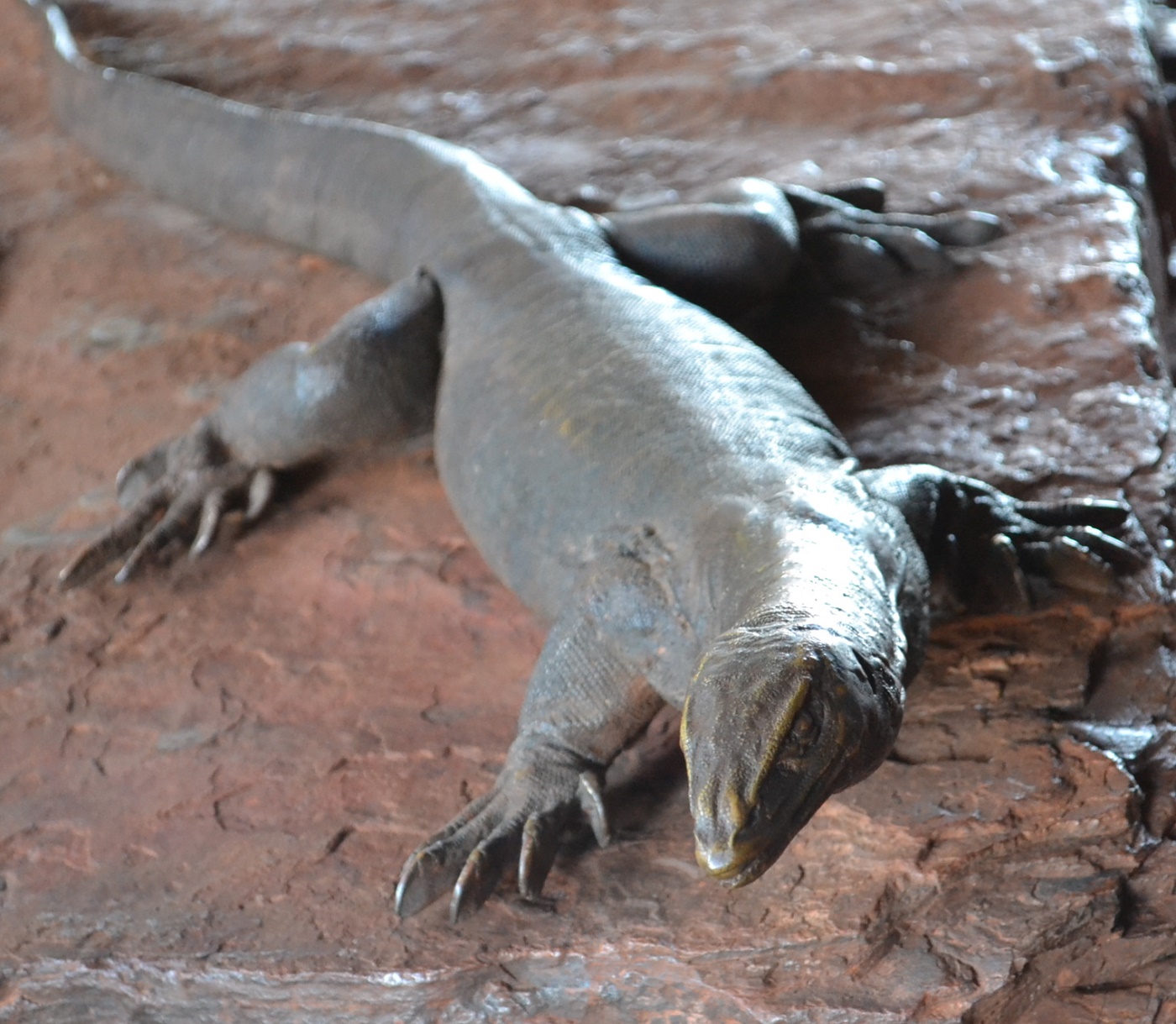
Even this huge lizard had a red tongue. I saw it just before he tried to eat me. He backed down real quick when I offered him a beer.
Connie and I were having a race through the scrub when we came across this...
It's called Dales Gorge. There's nothing above ground level and it's a complete surprise when the path stops at a handrail. On the other side of the handrail is ... this.

At one end of this gorge is a waterfall feeding water into "Circular Pool".
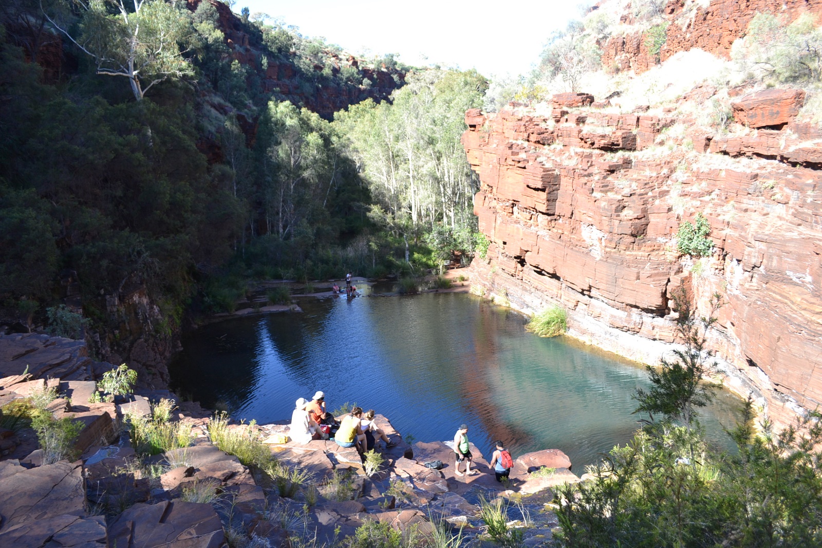
At the other end of the gorge is a waterfall feeding water into "Fern Pool". Understand?
Yeah, ask me, why isn't the gorge full of water.
Um.. there's a hole in it?
< another year >
< Index page >
< Part 1 >
< Part 2 >
< Part 3 >
< Part 4 >
< Part 5 >
< Part 6 >
< Part 7 >
< Part 8 >
< Part 9 >
< Part 10 >
< Part 11 >
< Part 12 >
< Part 13 >
< Part 14 >
< Part 15 >
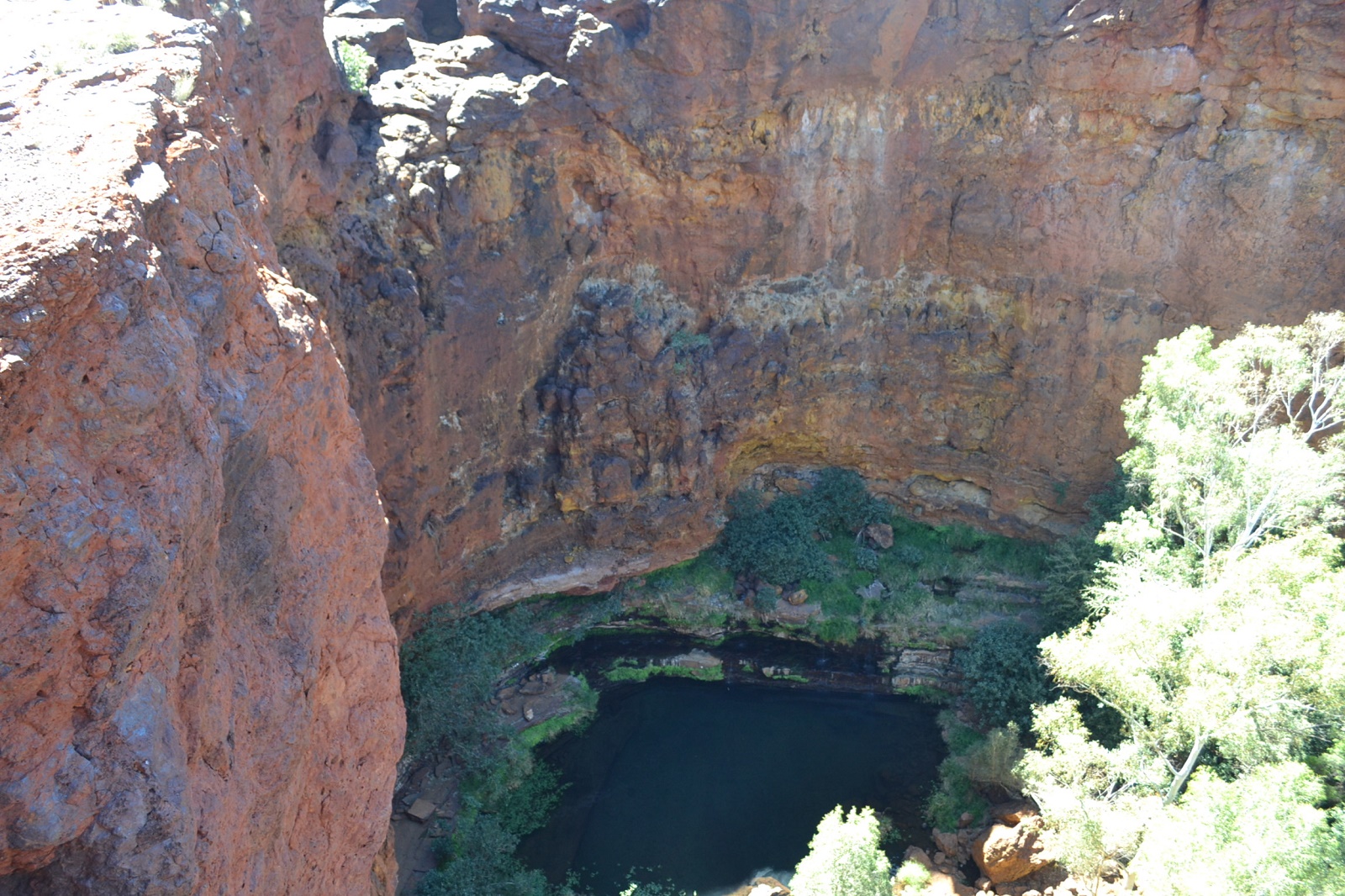
I lost track, but I think this is "Circular Pool". My guess is that it's 5 to 6 hundred feet down to the water.

And this is "Fern Pool" at the other end. They are about 2 kilometers apart. Yes, we walked it, easy!
AND we walked all the way tothe bottom and back up.
There's a person in white clothes just right of centre. He's about 1/3 of the way down.

Fortescue Falls drop into Fern Pool at one end of the Gorge. This pic is to prove we climbed to the bottom.
< another year >
< Index page >
< Part 1 >
< Part 2 >
< Part 3 >
< Part 4 >
< Part 5 >
< Part 6 >
< Part 7 >
< Part 8 >
< Part 9 >
< Part 10 >
< Part 11 >
< Part 12 >
< Part 13 >
< Part 14 >
< Part 15 >
Fern pool from about half way down the climb.
Amazing... this wasn't here 5 million years ago.
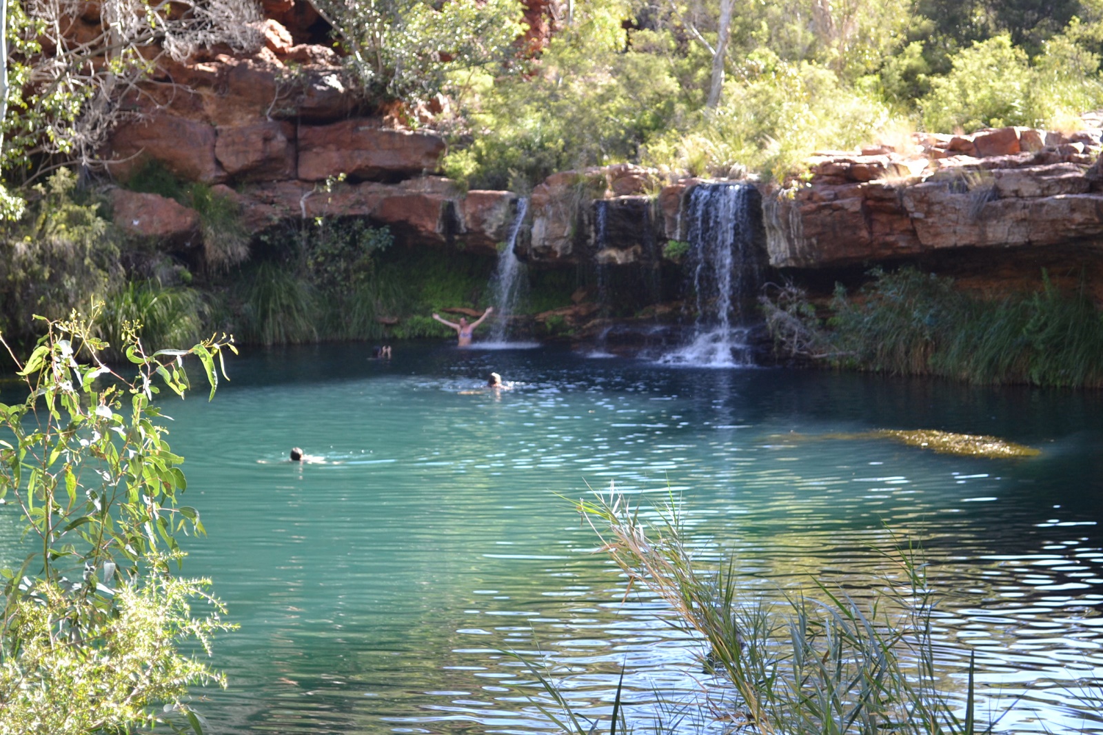
They are BRAVE. That water is cold. There are signs warning of the danger of hypothermia, crocodiles, poisonous snakes ... ... just kidding! but it is cold.
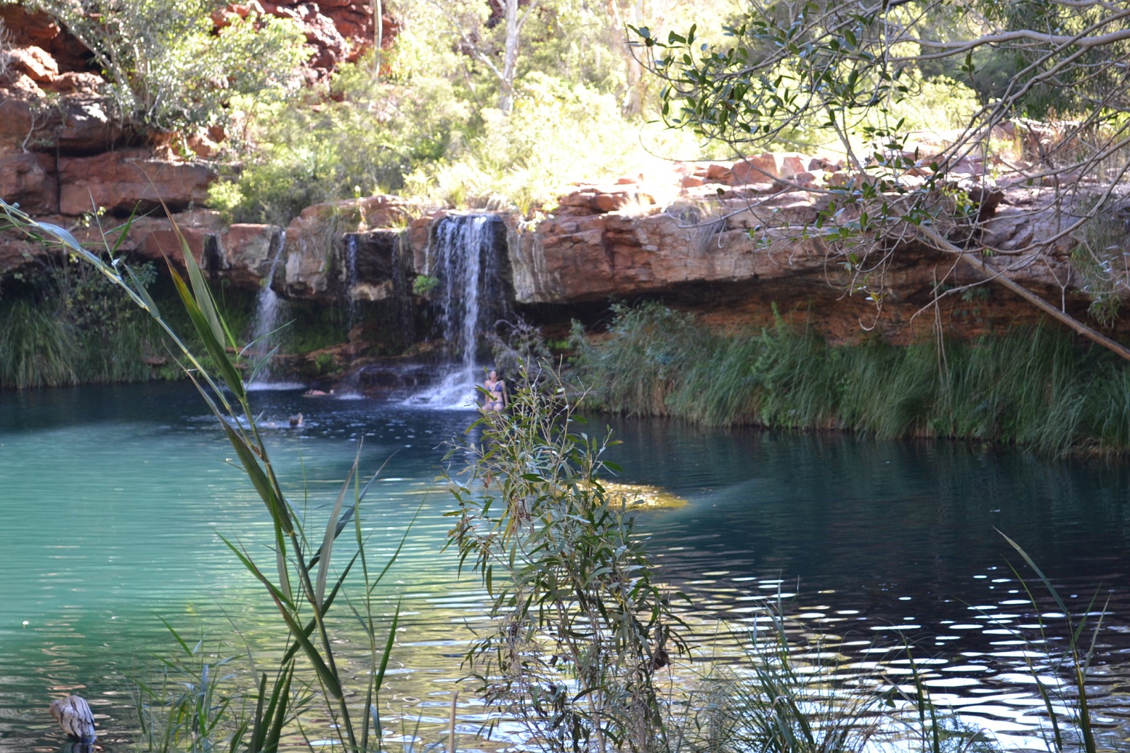
I swam over to the waterfall and back a couple of times but had to have a rest because of the cold.
< another year >
< Index page >
< Part 1 >
< Part 2 >
< Part 3 >
< Part 4 >
< Part 5 >
< Part 6 >
< Part 7 >
< Part 8 >
< Part 9 >
< Part 10 >
< Part 11 >
< Part 12 >
< Part 13 >
< Part 14 >
< Part 15 >