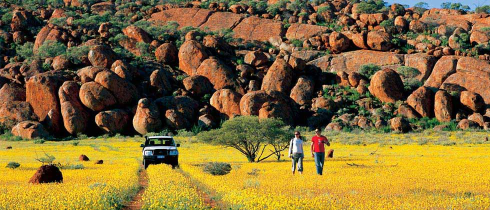
Thanks for taking the time to look at our web pages. This year we will travel from Sydney across to Broome and then wander down through inland Western Australia from Broome to Kalgoorlie. During our trip we will be taking photos of anything interesting or unusual, maybe even R rated.
Our location should be continuously updated on ...
... and it often works!
The map has a "satellite view" option - click "MAP" in the top
left corner of the map and/or a zoom function ( +/-) in the bottom right corner of
the map. If you have any difficulty with it, leave a message in the visitor book.
< Index page >
< another year >
< Part 1 >
< Part 2 >
< Part 3 >
< Part 4 >
< Part 5 >
< Part 6 >
< Part 7 >
< Part 8 >
< Part 9 >
< Part 10 >
< Part 11 >
< Part 12 >
< Part 13 >
< Part 14 >
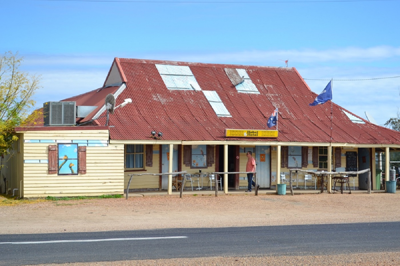
Part One, Dubbo, Lightning Ridge, Hebel, St George, Blackall.
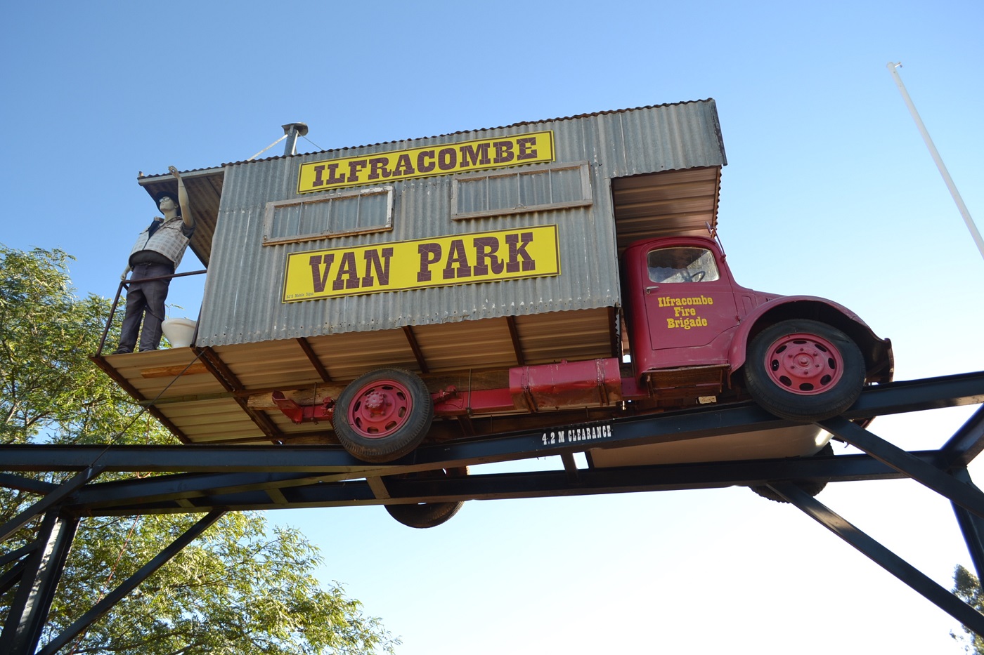
Part Two, Ilfracombe to Mount Isa.
Part Three, Daly Waters to Katherine.
Part Four, Katherine to Kununurra.
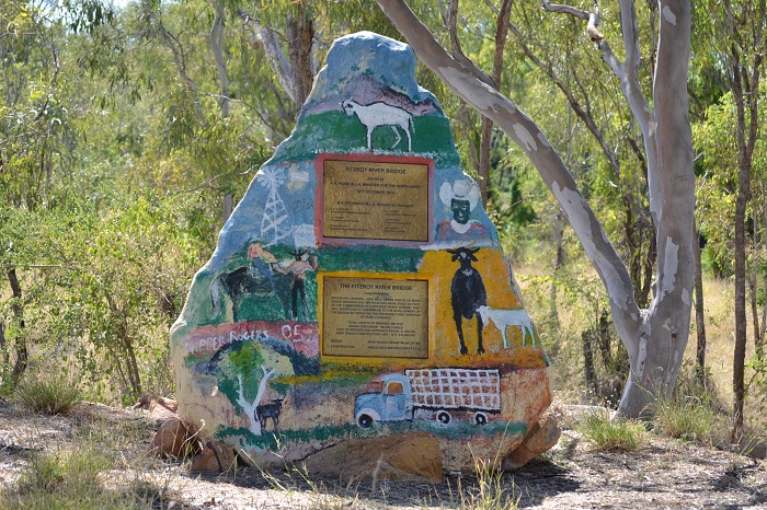
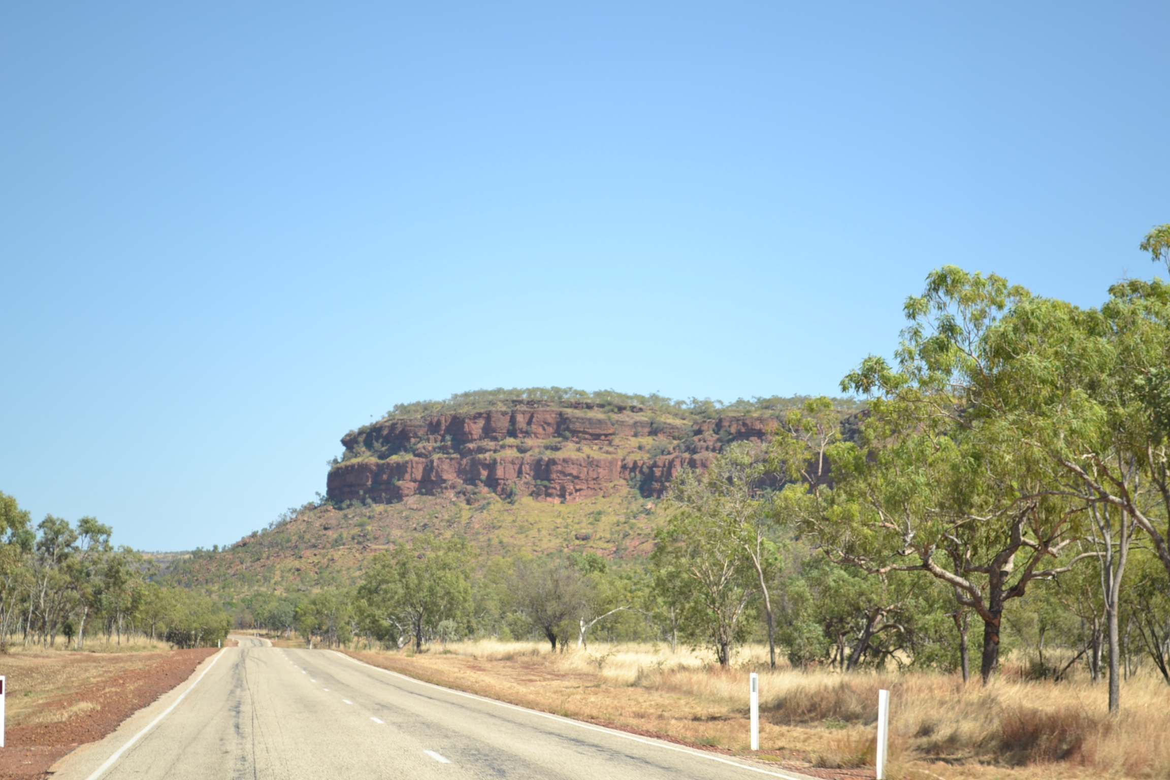
Part Five, Kununurra to Fitzroy Crossing.
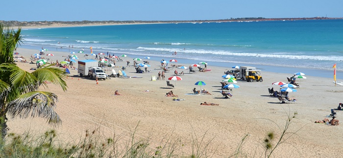
Part Six - Fitzroy Crossing to Broome.
Part Seven - Eighty Mile Beach to Marble Bar.
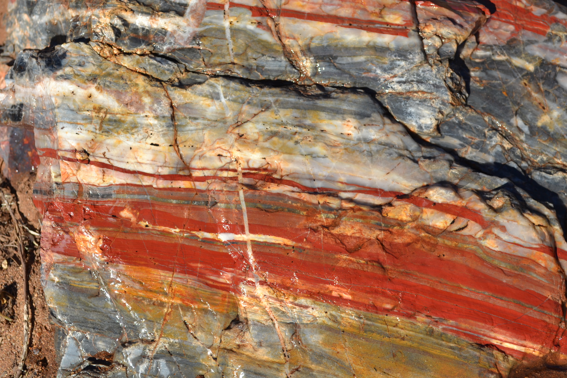
Part Eight - Karijini National Park.
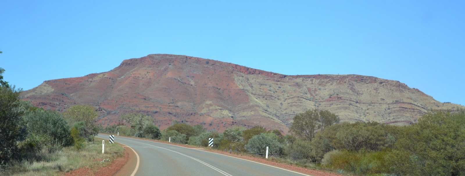
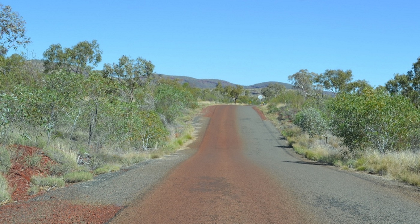
Part Nine - a billion tons of iron ore in that hill... $$$.
Part Ten - Heading north again.
Part Eleven - Katherine to Avon Downs.
Part Twelve - Cloncurry to Winton.
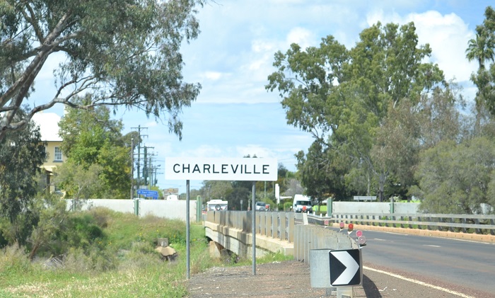
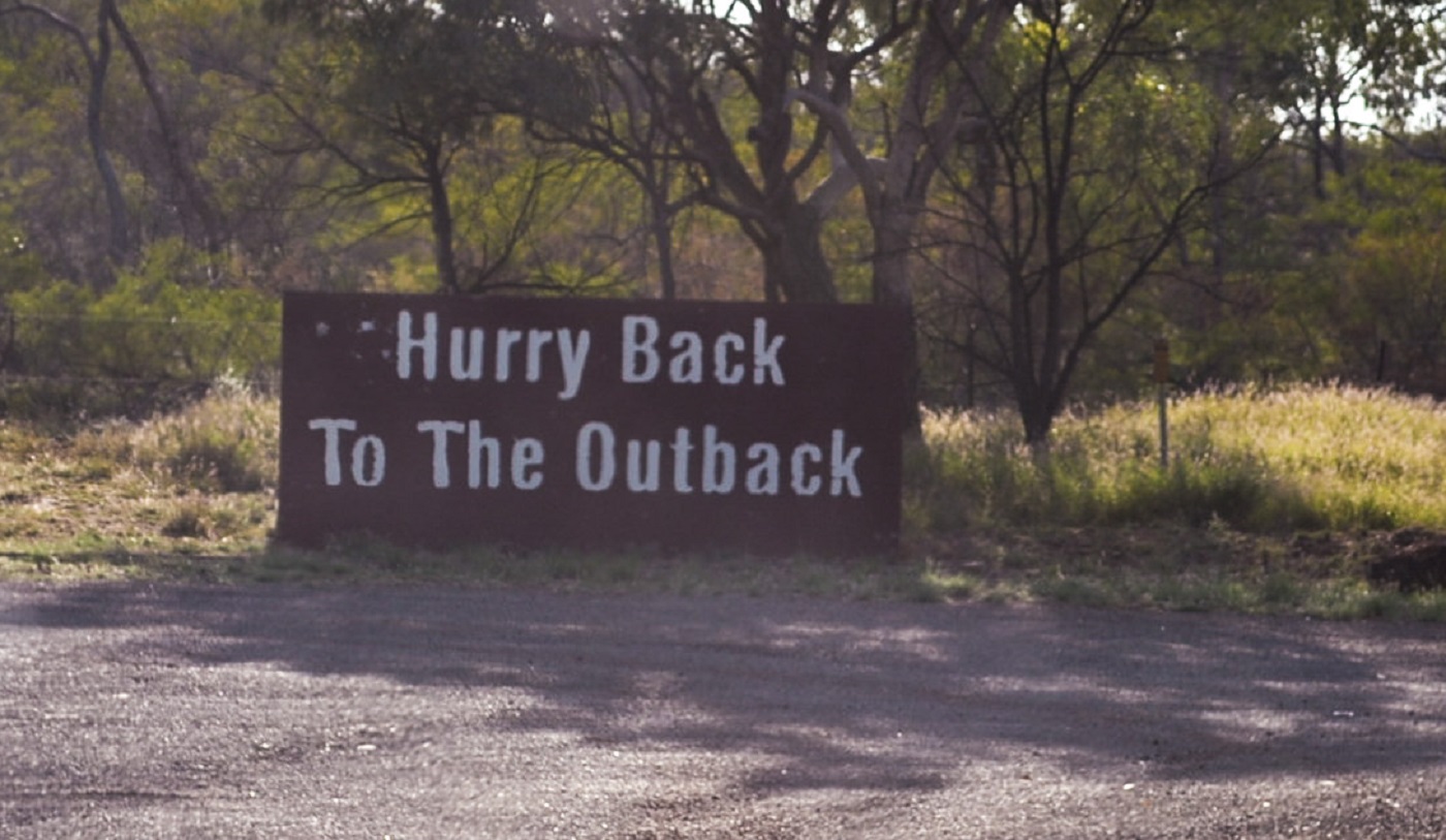
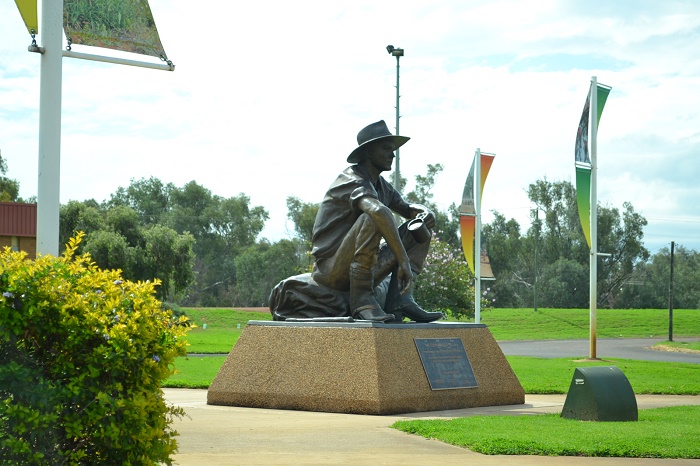
Part Thirteen - Ilfracombe to Charleville.
Part Fourteen - Charleville to Cunnamulla.
< Index page >
< another year >
< Part 1 >
< Part 2 >
< Part 3 >
< Part 4 >
< Part 5 >
< Part 6 >
< Part 7 >
< Part 8 >
< Part 9 >
< Part 10 >
< Part 11 >
< Part 12 >
< Part 13 >
< Part 14 >